Barton creek not only offers a challenging canoe trip, for Austinites, it’s right in our backyard.
There are three sections of the creek that are easily run.
Map of Put-ins & Take-outs for Barton Creek
Check your water levels before you go
Download GPS Waypoints for Barton Creek
Routes:
- 71 to Lost Creek – This is a longer stretch – By GPS was 14+ miles – Steady, fun, smaller rapids the entire trip. No big surprises. We put in around 10am and finish at 7pm with an hour lunch. 71 offers a bit more parking after recent construction just off the highway were it intersects the creek. Park on the side of the street at Lost Creek – if the creek is flowing, you’ll probably see other cars already parked there.
- Lost Creek to 360 Bridge – This section goes by pretty quick with big challenges for a canoe depending on water levels. We are conservative and stop running the falls for anything above 700cfs. Depending on water levels, the falls should not be run unless you are an expert. Takes 3-4 hours including portages area. Plenty of parking in the business complex lot at the 360 access point – longer walk to the water with your boat.
- 360 Bridge to Barton Springs – Triple Falls and Cambell’s hole should be run only by canoeing experts at high levels. Lots of twists, turns and boulders along this stretch.
Barton Creek – Route 2 & 1 – Waypoints, Descriptions and Pictures to Campbell’s Hole
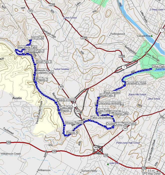
| Route 2 – Waypoint |
Description |
Picture (click to enlarge)
|
| 1 – Hill of Life & Man Made Waterfall/Dam |
This is not the put-in… just where things start to get interesting on the creek. Head up to Lost Creek for an easier time |
 |
| 2- Man Made Falls |
|
 |
| 3 – Small Falls |
|
 |
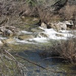
| 4 – Small Falls |
|
 |
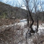
| 5 – Small Falls |
|
 |
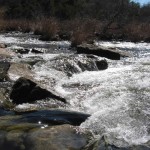
| 6 – Rapids 1 |
|
 |
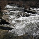
| 7 – Rapids 2 |
|
 |
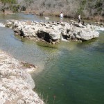
| 8 – Sculpture Falls |
|
 |
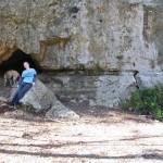
| 9 – Cave (not Airmen’s Cave) |
Airme’s is further down the creek, just past the Crystal (aka Triple falls area) – I don’t have Airmen’s noted in this presentation and i’m unsure of this cave’s name. I don’t go in caves. 🙂 |
 |
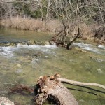
| 10 – Small Rapids |
|
 |
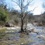
| 11 – Reeds area before Twin Falls |
|
 |
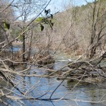
| 12 – Twin Falls |
Has an incredible hydraulic below the waterfall on river-left. Should not be run in a canoe unless floatation is used – Class III water at high volumes. |
|
| 13 – Twin Falls – (Strainer below) |
|
 |
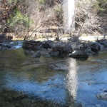
| 14 – Rapids 3 – Mopac Bridge |
|
 |
| 15 – Rapids 4 – Mopac Bridge (below) |
|
|
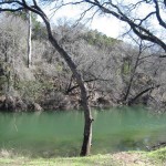
| 16 – Good Halfway Take Out |
|
 |
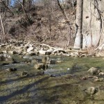
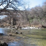
| 17 – Rapids 4b – 360 Bridge |
|
 |
| 18 – Rapids 4c – 360 Bridge (below) |
|
 |
| 19 – Crystal Falls – aka – Triple Falls |
Class III water at high volumes – should only be run by an expert |
|
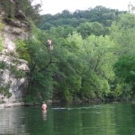
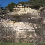
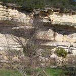
| 20 – Cliffs -aka “Balls Deep” |
That’s me in the picture. Ensure you land with your feet straight. It’s 52′ high. If you land in sitting position, you will not be able to sit down for two days. Trust me on this one. Watch those rocks at the bottom. |
|
| 21 – White Face Cliff |
|
|
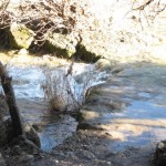
| 22 – Small Falls 4 |
|
 |
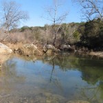
| 23 – Gus Fruh area |
This is just above Gus Fruh – forgot to take a picture when I was out shooting. Walked right by.. It’s a big pool with some deep areas.. I used to do a few laps there during wet seasons |
 |
| 24 – Rock Garden |
|
|
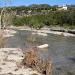
| 25 – Campbell’s Hole |
Class IV water at high volumes – should only be run by an expert |
 |









No comments yet.